Ximo Puig visits Xàbia to help launch new APP to identify seagrass meadows off the Marina Alta coast
The president visited Xàbia for the presentation of the app ‘Projecte Posidònia’, promoted by the Fundació Oceanogràfic to protect the marine ecosystem.
Thursday 4th August 2022 · Mike Smith
Source: GVA Gabinet de Comunicació
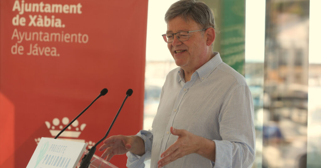
During a visit to Xàbia, the president of the Generalitat Valenciana, Ximo Puig, claimed that “there is no alternative to the fight against climate change” and advocated the public-private partnership to advance measures that guarantee sustainability.
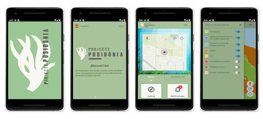
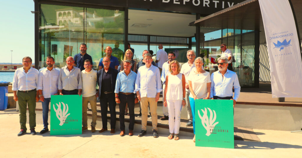
The president spoke during a presentation at Club Náutico de Jávea to launch a new APP ‘Projecte Posidònia‘, promoted by the Fundación Oceanogràfic with the support of Banca March through the Mediterranean Fund, an initiative that has been considered an example of collaboration between the public and private sectors to preserve biodiversity.
The Ciutat de les Arts i les Ciències and the Fundación Oceanogràfic have promoted this application for smartphones, which makes it possible to identify seagrass meadows – especially posidonia oceanica – to make it easier to promote the sustainable use of spaces and avoid anchoring that could affect this protected habitat.
“There is no planet B“, warned the head of the regional government, who pointed out that the measures to tackle the climate crisis “should be part of a general consensus” and pointed out that, at least in the area of the Comunidad Valenciana, “it would be good if we applied it”.
The president underlined that the Comunidad Valenciana maintains a “very close relationship” with the Islas Baleares in the protection of the marine ecosystem for the development of initiatives such as this as well as to implement other measures related to the Blue Economy (the sustainable use of ocean resources for economic growth, improved livelihoods, and jobs while preserving the health of ocean ecosystem) and said that another summit between the two autonomies will be held soon, this time in Valencian territory.
Puig pointed out that the Mediterranean is a vulnerable ecosystem that has “inestimable value” and that it has been mistreated, adding that it has become necessary to carry out actions to give it “the necessary care“. All those people who have the right to enjoy this sea also have the duty to take care of it, he said, encouraging the use of this new APP to take care of posidonia meadows, a key element in preserving the marine wealth.
The new APP is a free access tool for smartphones through which the user can access a detailed cartography of the seabed of the Marina Alta. It is available in Spanish, Valencian and English and can be downloaded from the App Store for iOS and the Google Play Store for Android. It includes all the marine spaces of the Red Natura 2000 that exists in this area, which covers 9,500 hectares of seabed whose typology of submerged habitats has been updated to favour their knowledge and conservation.
The APP is part of the ‘Projecte Posidònia‘ and aims to protect the posidonia oceanica meadows and marine biodiversity that exist on the Marina Alta coastline. The cartographic study of the seabed has been carried out over an extensive coastal area with a high representation of posidonia seagrass meadows exposed to intense seasonal activity from tourism.
‘Projecte Posidònia‘ is expected to last two years and consists of a technical phase, aimed at completing the underwater mapping of the Marina Alta coastline, which has already been done, and an interpretive phase which is aimed at raising awareness in the municipalities next to the study area.
Regarding the mapping, a survey of approximately 7,000 hectares was carried out during the spring of 2022, which included the Almadraba de Dénia (4,616 hectares), the marine area of the Parque Natural del Montgó (816 hectares) and the Ifach marine area (1,400 hectares), all of them considered Sites of Community Interest (SCI) within the Red Natura 2000 and that, together with the mapping carried out in 2019 by these same institutions within the framework of the ‘Projecte Xàbia‘, the global survey of 9,500 hectares has been completed . The details of the mapping can thus be consulted in the free mobile application.
To carry out this cartographic study, the technical staff of the Fundación Oceanogràfic has used a side-scan sonar and videographic survey, a tool that provides high-precision digital images of the seabed to identify the exact location of the posidonia oceanica seagrass meadows, distinguish between different types of seabed and thus be able to prepare the final mapping.
The Comunidad Valenciana has the second largest extension of posidonia seagrass meadows in the Spanish Mediterranean, behind only the Islas Baleares, and the province of Alicante accounts for around 76% of it. The action will provide a very important reference to monitor the evolution of these meadows, recognized as a priority habitat by the EU and will serve, in turn, as a tool for managing and planning spaces and as a vehicle to promote sustainable practices.