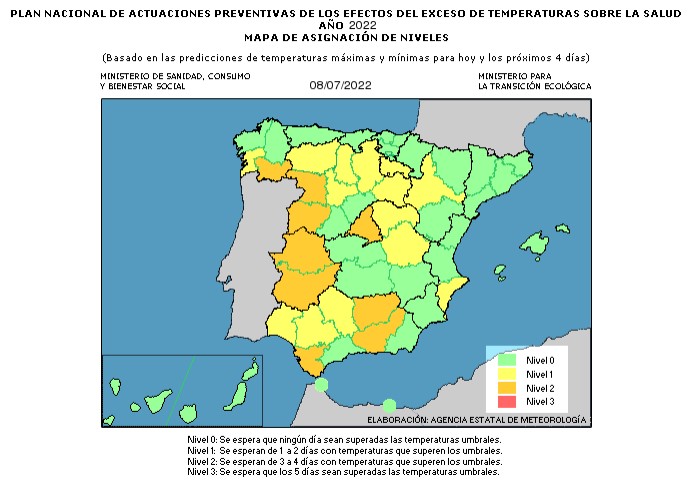
AEMET issues warning for high temperatures in many areas of Spain
Although our region will escape the highest temperatures, the maximums may reach 1 or 2 degrees above normal for a couple of days.

AVISO ESPECIAL Nº 7/2022
Meteorological Phenomenon: Heat Wave
Geographical Scope: Peninsular southwest quadrant and the Canary Islands.
Start of the Situation: Saturday 9th July in the Canary Islands, Sunday 10th July in the peninsula
Duration: Until Monday 11th July in the Canary Islands and at least Wednesday 13th July in the peninsula.
Degree of probability: High (greater than 70%)
Description of the Weather Situation:
The presence of an extensive and powerful Atlantic anticyclone centred to the southwest of the British Isles is favoring a situation of high stability throughout Spain, with a very stationary air mass, which due to high sunshine, is causing an increase in temperatures. This situation is expected to continue under similar conditions, and therefore giving rise to a gradual and progressive increase in temperatures throughout the weekend. This thermal rise will be more pronounced in the Canary Island archipelago. As of Monday, it is expected that a DANA, which will be located to the west of the peninsula, will begin to generate a circulation from south to north, which will displace a very warm air mass, of African origin, at all levels, so that it is likely that from Tuesday 12th July the thermal rise will intensify, at least until Wednesday 13th July. Throughout the episode, the highest temperatures will be reached in the southwestern peninsular quadrant and in the Canary Islands.
Today, Friday 8th and tomorrow, Saturday 9th, there will be a general thermal rise throughout the country, which on both days will be more pronounced in the interior of the northern half of the peninsula, west of Galicia, and especially in the Canary Islands, where the rise can be noticeable from time to time. The highest temperatures will be reached today in points of the Guadiana and Guadalquivir valleys, where they can exceed 40-41 degrees, extending tomorrow to most of Extremadura and the entire Guadalquivir valley. This rise will also cause the southern areas of Gran Canaria to exceed 37 degrees today, generalizing to the rest of the archipelago tomorrow.
On Sunday the 10th, temperatures will continue to rise slightly with values above 41 degrees also in the Tagus Valley. In addition, temperatures above 34-36 degrees are expected in large areas of the central zone, south of Castilla y León and east of Castilla La-Mancha.
As of Monday 11th, the approach of a DANA to the west of the peninsula will cause an air mass of African origin to begin to penetrate from the south on Tuesday, giving rise to a more pronounced rise in temperatures in the south-west of the peninsula. Said ascent will last at least until Wednesday 13th, although there is still great uncertainty regarding the completion of this episode. On the other hand, this situation will mean that from Monday, and especially on Tuesday, temperatures will drop sharply in the Canary Islands.
During this episode, the minimum temperatures will also be high, especially from Tuesday, when they are likely to reach 22-24 degrees in the south-west of the peninsular.
With regards to our region, it is expected that the Province of Alicante will experience maximum temperatures above normal for the time of the year for a couple of days.